×
![]()
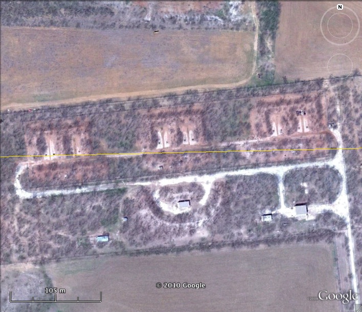
Nike Missile DY-10 Launch Battery Site Dyess AFB Defense Area Texas
Nike DY-10 Launcher
Date Activated: October 1960
Date Deactivated: June 1966
State: Texas
Nearest Town: Fort Phantom Hill
Defense Area: Dyess AFB
Coordinates:
Latitude: 32°34'49.48"N
Longitude: 99°43'3.38"W
Decimal:
Latitude: 32.580411
Longitude: -99.717606
GPS:
Latitude: 32 34.8246666666667
Longitude: -99 43.0563333333333

Read more about the Dyess Air Force Base Defense Area here. General information on Dyess Air Force Base can be found here.
List of all Nike site Coordinates