×
![]()
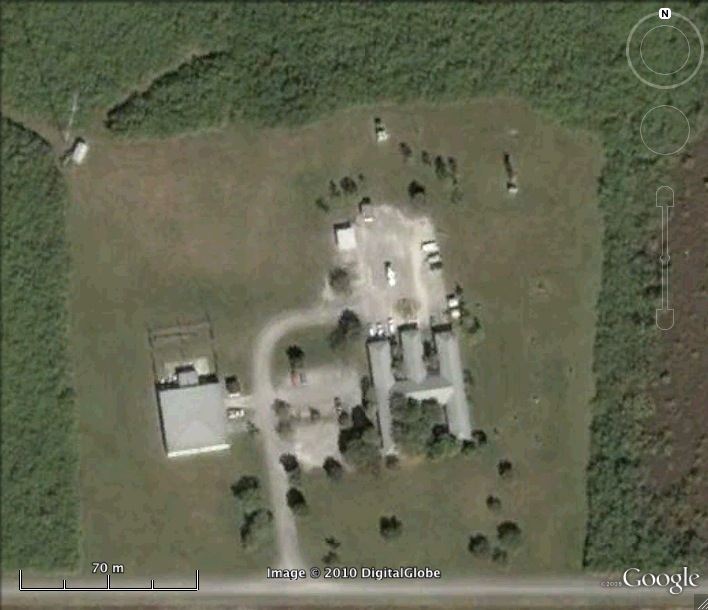
Nike Missile HM-66/69 IFC Site Homestead Air Force Base Defense Area Florida
Nike HM-66/69 IFC
Date Activated: 10/1962 (HM-66) 6/1965 (HM-69)
Date Deactivated: 6/1965 (HM-66) 6/1979 (HM-69)
State: Florida
Nearest Town: Florida City
Defense Area: Homestead/Miami
Coordinates:
Latitude: 25°23'24.89"N
Longitude: 80°40'51.20"W
Decimal:
Latitude: 25.390247
Longitude: -80.680889
GPS:
Latitude: 25 23.4148333333333
Longitude: -80 40.8533333333333

HM-66 was relocated to HM-40 in June 1965.
Read more about the Homestead/Miami Defense Area here.
List of all Nike site Coordinates