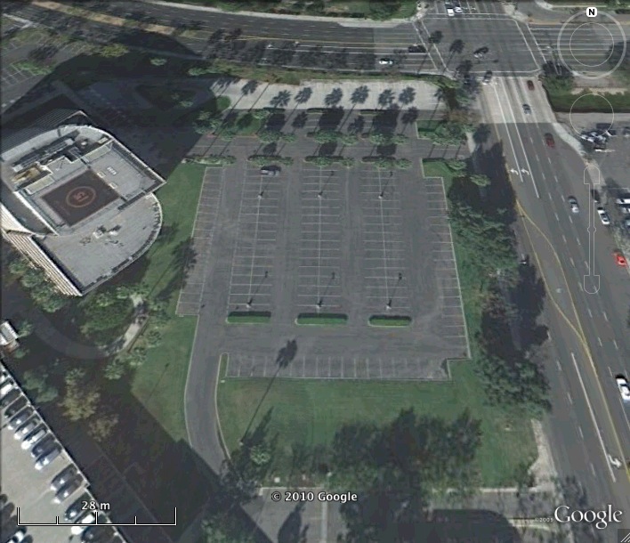
Nike Missile LA-40 IFC Site Los Angeles Defense Area California
Nike LA-40 IFC
Date Activated: 1956
Date Deactivated: 1963
State: California
Nearest Town: Long Beach Airport
Defense Area: Los Angeles
Coordinates:
Latitude: 33°48'34.95"N
Longitude: 118° 8'4.60"W
Decimal:
Latitude: 33.809708
Longitude: -118.134611
GPS:
Latitude: 33 48.5825
Longitude: -118 8.07666666666667

Los Angeles was one of the largest defenses, covering a large amount of territory and featuring sites that were located on ocean shore bluffs up to 8,000 foot plus mountain ridges. The defended facilities included a major portion of the nation's aerospace industry, several other large industries, shipyards, communications, transportation, and several military installations. LA had several unique features; the mountain sites had buildings with peaked roofs, due to the substantial annual snowfall. One of these sites, LA-04 Mount Gleason, was called "the world's highest Nike base," and was also considered the most remote Nike site in the Continental United States. Several of the sites in the Los Angeles Defense also were threatened by forest fires.
Los Angeles was also the defense selected for initial Army National Guard Nike operations. In 1958, the California Guard's 720th Antiaircraft Missile Battalion (Nike-Ajax) acquired four sites, setting the standard for other defense areas.
The primary long range radar for the LA defense was initially located at San Clemente Island Air Force Station; the site was later relocated to San Pedro Hill AFS, overlooking Terminal Island and Long Beach. The SAGE command post for the Los Angeles region was located at Norton AFB, near San Bernardino. Reduced from brigade to group status in November 1968, the Los Angeles defense continued operation until the summer of 1974.
List of all Nike site Coordinates