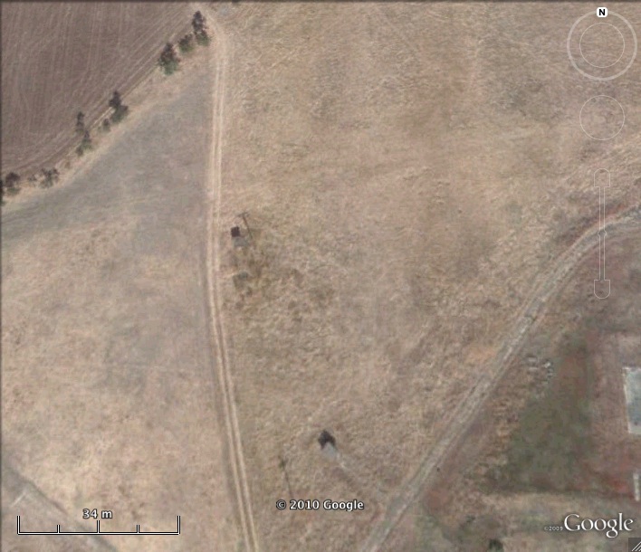
Nike Missile T-10 IFC Site Travis AFB Defense Area California
Nike T-10 IFC
Date Activated: 1958
Date Deactivated: March 1974
State: California
Nearest Town: Elmira
Defense Area: Travis AFB
Coordinates:
Latitude: 38°19'0.79"N
Longitude: 121°52'20.71"W
Decimal:
Latitude: 38.316886
Longitude: -121.872419
GPS:
Latitude: 38 19.0131666666667
Longitude: -121 52.3451666666667
Long time trans-Pacific air terminal for the Air Force, Travis AFB also hosted a Strategic Air Command bombardment wind during the 1950s and 1960s. The base was selected for Nike Hercules deployment during the first round of construction; in an interesting turn of events, the Travis battalion eventually assumed responsibility for the San Francisco Defense Area.
Air Force operations at the base during the Nike period included SAC's 14th Strategic Aerospace Division and 5th Bombardment Wing; ADC's 82nd Fighter Interceptor Squadron; MATS' 1501st Air Transport Wing; and MAC's 60th Military Airlift Wing. Fairfield AFS, adjacent to Travis, served as an Air Materiel command nuclear storage and maintenance depot.
List of all Nike site Coordinates