×
![]()
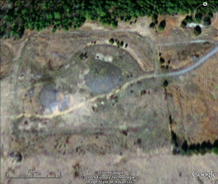
Titan II 374-7 Missile Silo Little Rock AFB Arkansas
Titan II 374-7
Wing: 308th SMW
Squadron: 374th SMS
Date Activated: September 1st 1962
Date Deactivated: August 15th 1986
Air Force Base: Little Rock
State: Arkansas
Nearest Town: Southside
Coordinates:
Latitude: 35°24'50.59"N
Longitude: 92°23'50.33"W
Decimal:
Latitude: 35.414053
Longitude: -92.397314
GPS:
Latitude: 35 24.8431666666667
Longitude: -92 23.8388333333333
Longitude: 92°23'50.33"W
Decimal:
Latitude: 35.414053
Longitude: -92.397314
GPS:
Latitude: 35 24.8431666666667
Longitude: -92 23.8388333333333

Former Titan II Missile Silo. On September 19th 1980 a dropped wrench punctured a fuel tank. Hours later it blew with such force that the 740 ton silo lid was blown off and the warhead (relatively undamaged) landed 600 feet away. Read more about this accident here.
View the satellite image of the intact Titan II silo at the museum to see what this site would have looked like when operational
Read about the Titan II at Little Rock Air Force Base
List of all Titan II site Coordinates