Nike Missile Site LA-04 Mt Gleason CA - PHOTOS - Radar Area
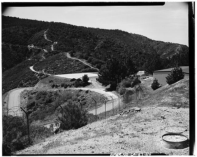
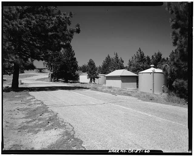
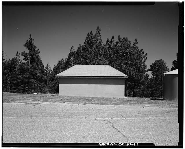
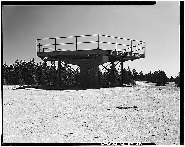
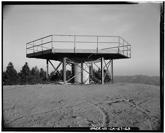
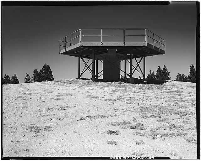
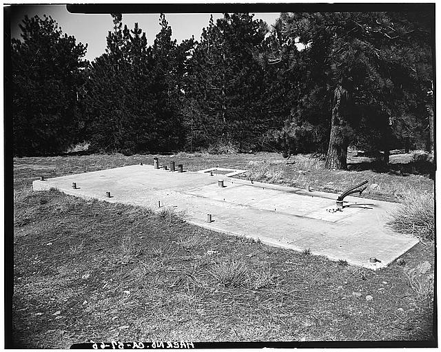
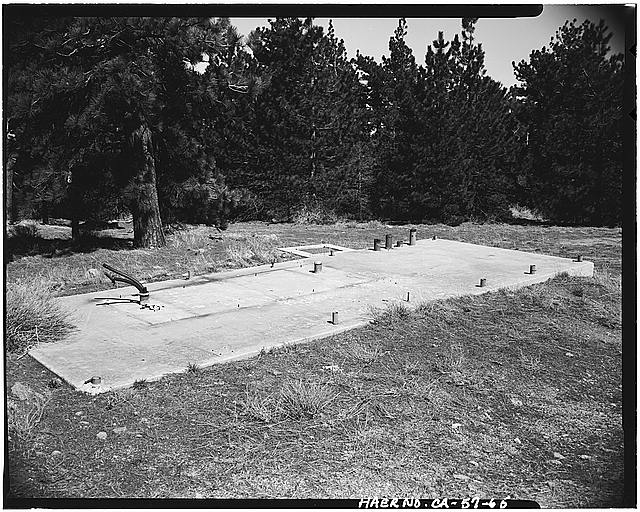
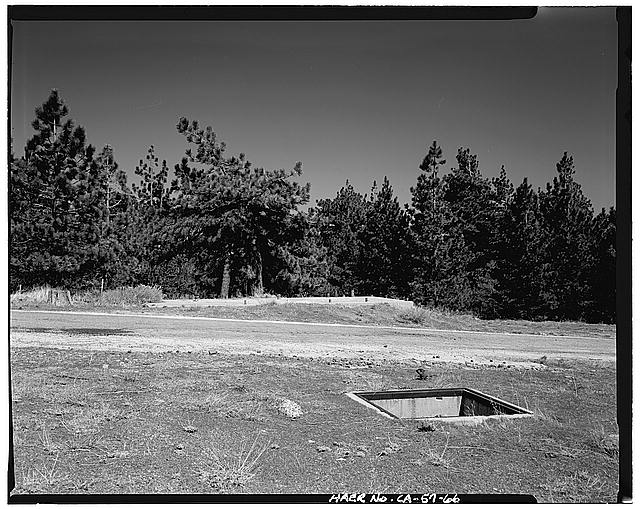
The Radar Control area is 1.5 miles directly west of the launch and administrative areas although it is a 3-mile drive by road from the administrative area. The battery control area contained the central radar and communications facilities. The TTR (target-tracking radar) platform, two water tanks, a concrete pumphouse, and three concrete pads are the only remnants of the original radar facilities located here. The Department of the Army removed most of the radar equipment and facilities here upon deactivation in 1974.
Photos - Overall View
Photos - Launch Area
Photos - Administrative Area
Photos - Missile Assembly Area
Photos - Silos Alpha and Bravo
Photos - Silo Catfish Exterior
Photos - Silo Catfish Interior
Photos - Radar Area
Photos - Site Plans
Information about this Nike Site
Other Los Angeles Sites & LA Site Information
Other California Sites
Other Locations by State